 |
||||||||||||||||||||||||||||||
|
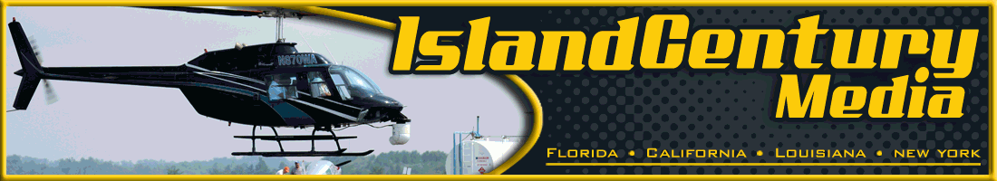
Your complete source for high definition Aerial Cinematography. |
NEWS | WE OFFER... | ||||||||||||||||||||||||||||
|
Night footage Atlanta Metro! See our DEMO REELS here! Markee Magazine "...Really remote aerial camera".pdf "PGA Tour and Golf Channel Hawaii 2012 and Mayakoba Mexico" Live Aerial coverage! "Life on a Wire" Nik Wallenda Aerial Coverage of NEW world record. Paradise Island, Bahamas "Real Housewives of Miami " on BRAVO! Aerial Elements 150th Anniversary of the Open Championship Old Course St. Andrews Scotland, "Live" Aerial Golf Coverage for BBC and ESPN Aerial Elements for Billy the Exterminator in Shreveport, LA 11th Solheim Cup // Golf Channel HD The ICM aerial camera ship provides over 20hrs of "Live" aerial coverage. Rich Harvest Farms, Sugar Grove, Illinois, USA ICM at the 138th Open Championship Live Aerial Golf Coverage for BBC and ABC Sports during the 138th Open Championship / Turnberry Scotland / ICM4HD.com "Drive and Deliver" HD aerial camera package (ICM) ABC Sports Captures Historical First in Golf Coverage with Live HD Aerial Camera for 137th Open Championship / Royal Birkdale UK; provided by ICM4HD.com ICM provides Wireless HD Aerial Camera for NCAA Final Four/ ESPN HD. ICM Hi-Def aerial camera for NBC Sports PGA Tour. |
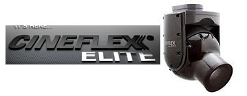
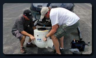
* FLIR Ultramedia HD and Cineflex V-14 Camera Rentals * Google Earth and Maps with Integrated HD Video * Aerial Surveillance * LINK Wireless HD Transmission * Aerial Camera Mounts and Systems integration * Architectural Pre-Vis/Real Estate * Aerial Production Support * Location Scouting/Photography * Utility, Oil, and Pipeline Inspections * International export permits/U.S Dept of State
|
|||||||||||||||||||||||||||||
|
Island Century Media (ICM) is an aerial camera and aerial production support company serving a wide range of clients with turnkey solutions. Our Aerial Cinematography and Aerial Photography services including Live Production, Real Estate and Technical Surveying offered NATIONWIDE. Call 1-888-373-4539 Or Email We can provide high-definition aerial cameras including Cineflex V-14 and FLIR UltramediaHD with Sony CineAlta Cameras. These systems excel in use on helicopters and fixed wing aircraft. ICM offers LINK wireless HD video transmission equipment for reliable wireless camera operations. With one call we can provide you with all the necessary equipment, people and planning to make your shoot a success!
|
||||||||||||||||||||||||||||||
 |
 |
|||||||||||||||||||||||||||||
|
More footage you can use! Many people can provide equipment and offer to shoot, but few can match our experience. When comparing solutions give us a call! For complete details about all the available helicopter systems and our fully equipped fixed-wing camera platform. |
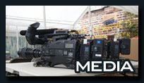
We take great pride in our ability to capture the best image or video possible. Check the media section to see what we have to offer.
|
 |
||||||||||||||||||||||||||||
Copyright 2012 :: all rights reserved icm4hd.com :: 888.373.4539 |
||||||||||||||||||||||||||||||